What Is a Super El Niño? How the Pacific Ocean is Rewiring Global Weather
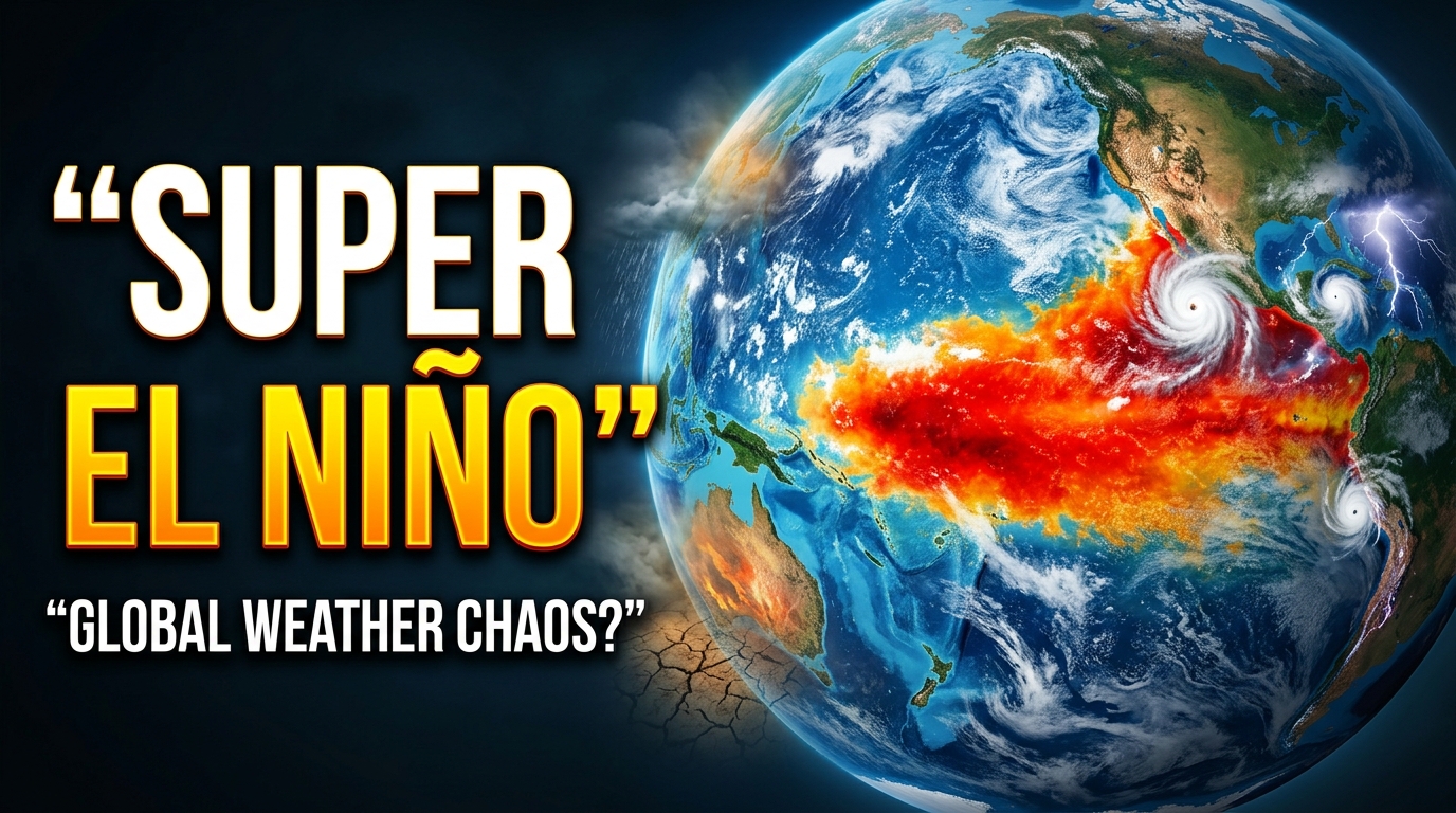
If it feels like the weather has completely lost its mind lately, you aren’t imagining things. One week, a neighborhood is sweating through a bizarre winter heatwave, and the next, a town that barely gets rain is suddenly underwater. It really feels like the planet’s thermostat is broken. While climate change gets a lot of the blame—and rightfully so—there’s another massive, ocean-sized culprit behind a lot of this immediate chaos. Meteorologists call it a Super El Niño.
Also read:
US Midterm Elections 2026: House & Senate Control Nov 3
You’ve probably heard the term “El Niño” tossed around by your local weather anchor. But when you add “Super” to the front of it, we aren’t just talking about a slightly warmer puddle in the ocean. We are looking at a colossal, heat-pumping engine in the Pacific that completely overrides standard global weather patterns for months, sometimes even years.
If you’re trying to figure out if you need to buy flood insurance, prep for wildfires, or just invest in a much stronger AC unit this year, here is the actual breakdown of what this phenomenon does—and why everyone from local farmers to top climate scientists watches it so nervously.
The Science: What Actually Triggers a Super El Niño?
To wrap our heads around this, we need to look at something called the El Niño–Southern Oscillation (mercifully shortened to ENSO). Picture ENSO as a giant climatic seesaw resting right on the equator in the Pacific Ocean. Under normal conditions, trade winds blow steadily from east to west. They act like a giant fan, pushing warm surface water away from the Americas and over toward Asia and Australia.
But during an El Niño phase, that fan suddenly loses its power. The winds weaken, and sometimes they even reverse direction. When that happens, all that built-up warm water sloshes right back across the ocean, piling up against the western coast of North and South America.
So, what makes it a Super El Niño?
It strictly comes down to the numbers. While heavyweights like the World Meteorological Organization (WMO) don’t actually print the word “super” in their technical manuals, scientists use it as shorthand for an event on steroids. We’re talking about a scenario where sea surface temperatures in a very specific monitoring zone (the Niño 3.4 region) spike by 2.0° Celsius (about 3.6° Fahrenheit) or more above their historical averages. We’ve recently seen extreme ocean temperature readings pushing well past the 2.5°C mark. That much excess heat in the ocean acts like a massive battery, charging up extreme weather systems all over the globe.
How the Entire Planet Feels the Ripple Effect
When the Pacific gets this hot, the effects simply don’t stay in the water. The ocean and the atmosphere are practically married. What happens to one immediately dictates what happens to the other. Heating up the Pacific is essentially like throwing a giant roadblock into the jet stream. Here is how that plays out on the ground.
Crushing Droughts and Wildfire Nightmares
Because all the warm water and rain clouds migrate east, countries sitting in the western Pacific get left totally dry. A fierce El Niño reliably triggers brutal, prolonged droughts across Australia, Indonesia, and huge chunks of southern Africa. For India, this oceanic shift is notoriously linked to a severely weakened summer monsoon. When those crucial rains fail to show up, agriculture takes a massive hit, which can send global food prices skyrocketing. Worse, the parched landscapes turn into absolute tinderboxes, setting the perfect stage for fast-moving wildfires.
Relentless Rainfall and Mudslides
On the flip side of the world, the eastern Pacific gets absolutely drenched. The coastal areas of South America—particularly countries like Peru and Ecuador—often face non-stop, torrential rains. The southern half of the United States also tends to get much wetter and stormier conditions than usual during the winter months. This isn’t just a minor inconvenience. The sudden deluge frequently overwhelms local infrastructure, causing tragic landslides, washing out major highways, and forcing mass evacuations.
Record-Shattering Global Heat
A Super El Niño doesn’t just shuffle rain around. It actively vents a colossal amount of trapped ocean heat straight up into the atmosphere. This essentially acts as a temporary space heater for the entire globe. During these events, cities everywhere routinely suffer through suffocating, record-breaking heatwaves. Beyond just making summer unbearable, these prolonged temperature spikes threaten vulnerable populations, put immense strain on aging power grids, and destroy crops that can’t handle the thermal stress.
Totally Bizarre Hurricane Seasons
Changing the wind patterns high in the atmosphere also messes with how tropical storms form. Oddly enough, a strong El Niño usually creates heavy wind shear in the Atlantic Basin. This wind shear actually rips developing hurricanes apart, often leading to a quieter season for the East Coast of the US. But it completely supercharges hurricane and typhoon activity in the central and eastern Pacific, putting island nations like Hawaii on high alert.
The Elephant in the Room: Yes, Climate Change Matters
You really can’t talk about extreme weather these days without bringing up climate change. It’s important to get the basic facts straight here: El Niño is a totally natural cycle. It has been happening for thousands of years, long before the industrial revolution. We didn’t invent it.
However, human-driven global warming is absolutely making its impacts significantly worse.
Because human activity has already raised the planet’s baseline temperature, a Super El Niño is now occurring in a world that is already running a fever. The oceans are warmer to begin with, meaning there’s way more thermal energy available to fuel violent storms. Plus, a hotter atmosphere physically holds significantly more moisture. That translates directly into heavier, more destructive rainfall when the skies finally open up. It’s essentially pouring gasoline on a fire that was already burning.
Who is Actually Tracking This?
If you want to know what’s coming next, you have to look at the agencies that keep their eyes glued to the Pacific 24/7.
The National Oceanic and Atmospheric Administration (NOAA) is pretty much the gold standard for tracking this stuff. Through their Climate Prediction Center, they push out highly detailed ENSO diagnostics every single month. By looking at their computer models, governments can plan ahead for intense winter storms or coming droughts.
On an international level, the World Meteorological Organization (WMO) coordinates directly with local weather services across the globe. Rather than just crunching numbers in a lab, the WMO focuses heavily on getting early warning systems activated on the ground in vulnerable countries. They constantly emphasize that getting ahead of the forecast is the only realistic way to protect communities and soften the inevitable economic blow.
When local governments actually take these warnings seriously, it saves lives. By paying close attention to these official updates, city planners can proactively top off water reservoirs in drought-prone areas, clear out storm drains before the floods hit, and ensure hospitals are fully stocked for heatwave-related emergencies.
When a Super El Niño decides to roll in, it throws the normal rulebook for global weather right out the window. It is the first massive domino that knocks over everything else, bringing devastating droughts to places like Australia and relentless downpours to the Americas. We obviously can’t stop the Pacific Ocean from warming up on its natural cycle, but we can definitely pay attention to the warning signs. With climate change pushing our baseline temperatures higher every single decade, these massive weather shake-ups are only going to become more intense and harder to predict. Figuring out how to adapt, listening to the hard meteorological data, and preparing our cities is no longer just an environmental talking point. It is a basic survival strategy.
FAQs
What is the actual difference between El Niño and La Niña? Think of them as opposite sides of the exact same coin. El Niño happens when the central and eastern Pacific waters get unusually warm, which alters global weather. La Niña is the exact reverse phase. During La Niña, those same waters become unusually cold, triggering a completely different set of climate disruptions worldwide.
How rare is a “Super” El Niño? Standard El Niño events happen every two to seven years and are pretty common. The “super” or historically strong events are much rarer. Before the recent ocean temperature spikes we’ve seen in the 2020s, the most notable mega-events happened in 1982–1983, 1997–1998, and 2015–2016.
Does a Super El Niño mean my specific city will get hotter? While El Niño definitely raises the global average temperature, local weather gets wildly complicated. Many areas will absolutely suffer through intense heatwaves. But depending on exactly how the jet stream bends, some regions might actually end up experiencing unseasonably cool and wet weather.
How do scientists officially declare an El Niño? Agencies like NOAA don’t just guess based on how hot it feels outside. They officially declare an event when sea surface temperatures in a specific zone of the Pacific (the Niño 3.4 region) stay at least 0.5°C above the long-term average for several consecutive months, alongside noticeable shifts in atmospheric pressure.
Where can I find trustworthy, real-time El Niño forecasts? If you want to bypass the social media rumor mill, stick to the official sources. The NOAA Climate Prediction Center and the World Meteorological Organization (WMO) offer the most accurate, science-backed seasonal outlooks and monthly diagnostics available on the internet.
National Oceanic and Atmospheric Administration (NOAA) – ENSO Diagnostic Discussion: https://www.cpc.ncep.noaa.gov/products/analysis_monitoring/enso_advisory/
World Meteorological Organization (WMO) – El Niño/La Niña Updates: https://wmo.int/topics/el-nino-la-nina
NOAA Climate.gov – El Niño & La Niña (ENSO) Blog: https://www.climate.gov/news-features/department/8443/all
World Health Organization (WHO) – El Niño Health Emergency Planning: https://www.who.int/health-topics/el-nino