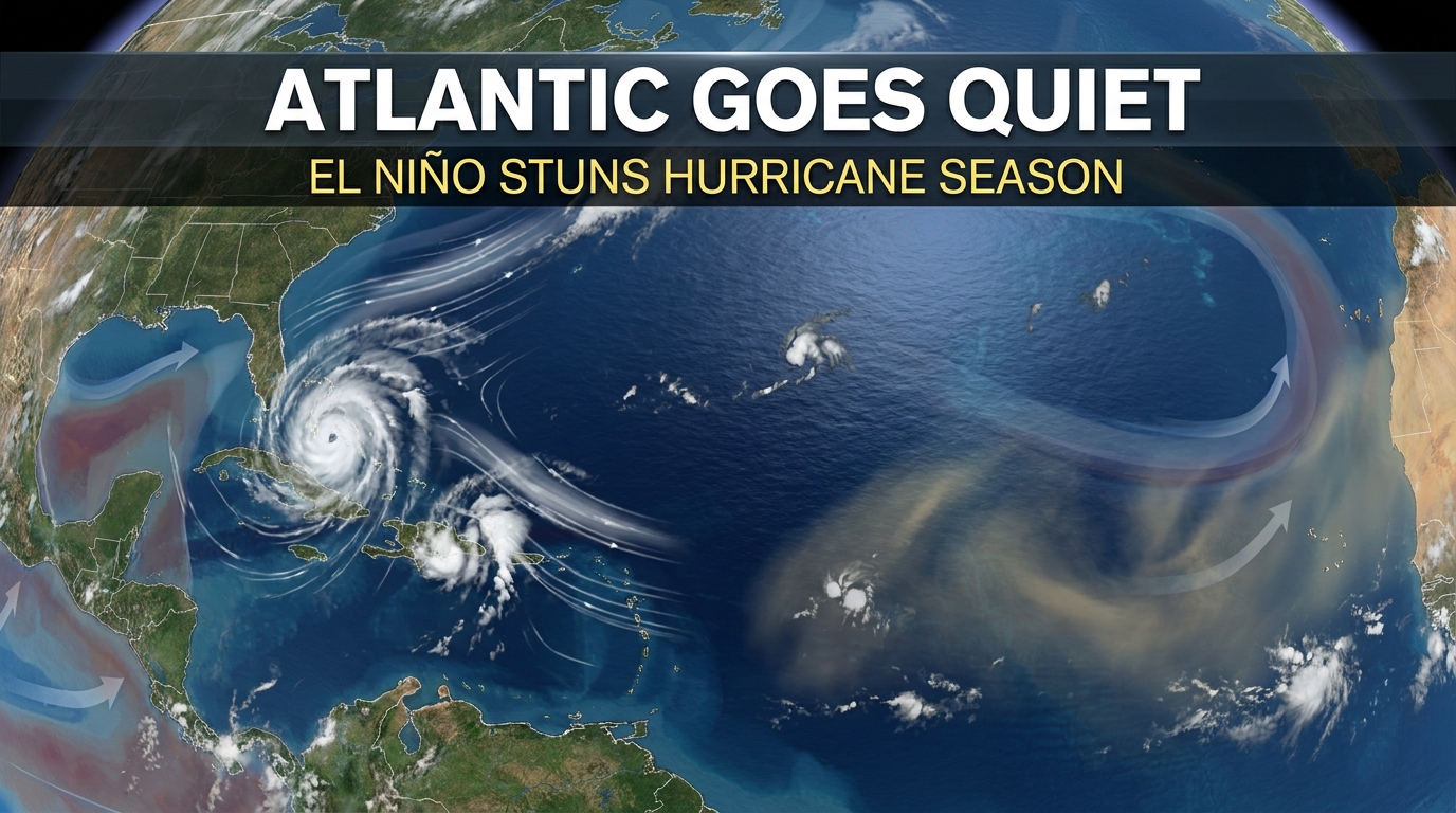
El Niño Atlantic hurricane season Sets Historic Lows: Causes & Impacts
The Atlantic basin is experiencing a staggering and historic meteorological anomaly. Normally, the peak months of late summer and early autumn bring a relentless parade of tropical disturbances, brewing heavy rains, roaring gales, and catastrophic threats to coastal communities. Yet, the current El Niño Atlantic hurricane season stands out for a completely different reason: extreme, unprecedented quiet.
Also read:
How Retail and Consumer Spending Data Drive Modern Labor Market Trends
Driven by a powerful and expansive El Niño climate pattern, the ocean and atmosphere have combined to deliver a post-1950 record-low season. Despite record-warm ocean surface temperatures globally, storm development has been stifled on a massive scale. Understanding how this climate phenomenon works reveals the intricate mechanics of global weather systems—and why scientists warn that coastal populations should never completely lower their guard.
The Anatomy of an El Niño-Suppressed Season
El Niño is the warm phase of the El Niño-Southern Oscillation (ENSO) cycle, characterized by the warming of sea surface temperatures across the central and eastern tropical Pacific Ocean. While born thousands of miles away in the Pacific, its ripples reshape global atmospheric circulations.
For the Atlantic, the arrival of an active El Niño unleashes a hostile environment for tropical cyclogenesis—the technical term for the birth of hurricanes. Atmospheric scientists describe current conditions as a “triple whammy” of environmental roadblocks that ruthlessly intercept and crush prospective storms before they can organize.
1. Astronomical Vertical Wind Shear
The primary weapon in El Niño’s arsenal is vertical wind shear. Wind shear refers to the significant change in wind speed and direction between the lower and upper levels of the atmosphere. During this El Niño event, easterly winds at low levels clash violently with upper-level westerly winds over the main development region between Africa and the Caribbean.
This shear effectively decapitates developing tropical systems. Instead of allowing warm, moist air to rise vertically and build a symmetrical engine, the shearing winds tilt and tear storms apart. Data from hurricane researchers indicates that wind shear values in key zones have measured up to 45 mph higher than what nascent tropical cyclones can withstand.
2. Paralyzing Dry Air and African Dust
Moisture is the vital fuel of any hurricane. However, El Niño introduces sweeping patterns of sinking air over the tropical Atlantic, generating an arid environment that starves thunderstorms of humidity. Compounding this issue is a heavy influx of dry, dusty air blowing off the Sahara Desert. This Saharan Air Layer chokes out convective cloud formations, preventing the atmospheric “seeds” required for tropical waves to grow into larger systems.
3. Atmospheric Stability and Pressure Forces
High-pressure anomalies sitting directly over the Atlantic force air downward, suppressing upward convection. Even though underlying ocean temperatures have run historically high—maintaining global ocean heat records—the upper atmosphere has warmed even faster. This narrows the critical temperature differential between the sea and the sky, short-circuiting the heat engine that typically powers major hurricanes.
Tracking the Numbers: A Historic Statistical Lull
The quantitative metrics for the current El Niño Atlantic hurricane season underline just how rare this atmospheric setup is:
Delayed Hurricanes: The season broke modern records for the longest duration into a calendar year without producing a single storm meeting the 74 mph threshold required to qualify as an official hurricane.
Minimal Named Storms: Only a handful of brief, weak tropical storms have managed to form, tracking well below standard historical baselines.
Sluggish Accumulated Cyclone Energy (ACE): Overall storm activity—measured by a metric factoring in the number, intensity, and duration of storms—sits at a tiny fraction of normal levels for this point in the calendar.
Ironically, while the Atlantic basin starves for storms, the eastern and central Pacific basins are experiencing a hyper-active mirror image. Blessed with low wind shear and abundant moisture, the Pacific has churned out dozens of named systems, demonstrating El Niño’s capacity to redistribute weather extremes across the planet.
Lessons from the Past: Why Complacency is Dangerous
Meteorologists and emergency management officials are quick to contextualize the relief brought by El Niño with a stark warning: historical precedent proves that a quiet start does not guarantee a safe conclusion.
Experts frequently point to outlier years like 1992. That season also began under a sluggish, delayed pattern before ultimately spawning Hurricane Andrew—a catastrophic Category 5 monster that devastated parts of the Bahamas and Florida. Furthermore, pockets like the Gulf of Mexico can occasionally remain isolated from regional wind shear, leaving vulnerabilities open for sudden, late-season intensification.
Communities are repeatedly reminded that vulnerability is not defined by the number of storms that develop across a season, but by the impact of the single storm that makes landfall. Preparedness protocols remain just as vital during suppressed seasons as they are during hyper-active ones.
Frequently Asked Questions
What exactly is El Niño and how does it affect weather?
El Niño is a natural climate cycle characterized by warmer-than-average sea surface temperatures in the equatorial Pacific Ocean. It shifts global atmospheric pressure systems, altering jet streams, precipitation, and wind patterns worldwide.
Why does El Niño suppress Atlantic hurricanes?
It creates strong vertical wind shear across the tropical Atlantic, which literally tilts and tears developing storm systems apart. It also introduces sinking dry air and stable atmospheric pressure that hinder thunderstorm growth.
Does a slow season mean global warming is pausing?
No. Global ocean temperatures have remained exceptionally high. The quiet Atlantic season is driven by short-term atmospheric dynamics caused by El Niño that temporarily override thermal energy inputs from warm ocean waters.
Can a major hurricane still form during an El Niño year?
Yes. While the overall probability is significantly lower, localized areas like the Gulf of Mexico can experience favorable conditions late in the season, and it only takes one severe landfalling storm to cause a major disaster.
Conclusion
The profound influence of the current El Niño cycle highlights the complex interplay between Earth’s oceans and atmosphere. By choking the Atlantic with wind shear and dry air, it has delivered an extraordinarily quiet hurricane season that provides much-needed relief to vulnerable coastal zones. Nonetheless, Earth’s climate engine remains dynamic and unpredictable. As meteorologists monitor the eventual evolution of ENSO cycles, maintaining vigilance and respecting the raw power of tropical weather systems remains essential year after year.
Official News & Trust Resources
National Oceanic and Atmospheric Administration (NOAA) Climate Prediction Center
NOAA Atlantic Oceanographic and Meteorological Laboratory (AOML)