
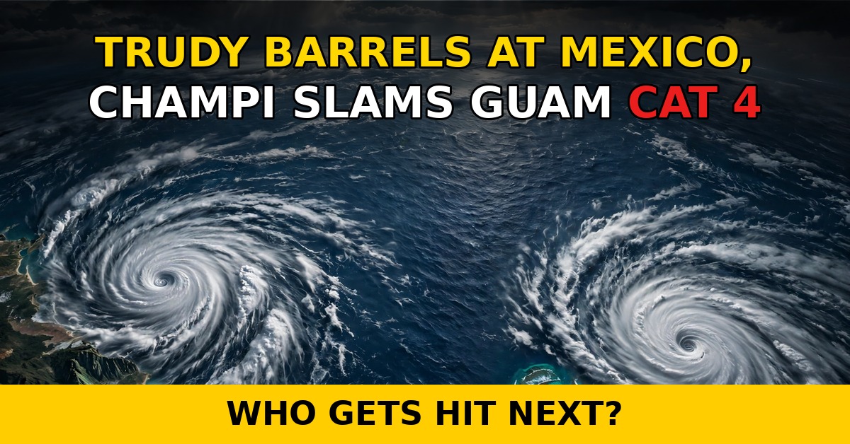
Two dangerous storms are hammering opposite sides of the Pacific this weekend, and forecasters tracking Hurricane Trudy Mexico 2026 say Mexico's west-central coast is about to take a direct hit. Trudy churned within 115 miles of Manzanillo on Saturday afternoon with 100-mph winds, while halfway across the ocean, Typhoon Champi brushed past Guam as a Category 4 monster with 140-mph winds. A rare one-two punch — and the capper on a record-breaking Pacific hurricane season.
Hurricane Trudy Mexico 2026: Warnings Up from Manzanillo to Cabo Corrientes
Trudy spent Saturday creeping toward Mexico's Pacific coast at about 10 mph, and the U.S. National Hurricane Center (NHC) says hurricane conditions are expected in the warning area Saturday night into Sunday. A Hurricane Warning stretches from Manzanillo in Colima state northward to Cabo Corrientes in Jalisco. South of Manzanillo, a Hurricane Watch reaches down to Punta San Telmo, while Tropical Storm Watches cover the coast north of Punta Mita to San Blas and Las Islas Marías.
Trudy peaked as a Category 3 hurricane Friday with 120-mph winds, eased to 90 mph Saturday morning, then re-gained strength through the afternoon. Forecasters expect about 105 mph by midnight, passing within roughly 75 miles of Manzanillo before weakening begins Sunday.
But the biggest worry in the Hurricane Trudy Mexico 2026 forecast isn't wind. It's rain. Trudy is forecast to dump 4 to 8 inches of rain across Michoacán, Colima and Jalisco through the weekend, with isolated totals near 15 inches in the hardest-hit spots. In steep terrain, that's a recipe for life-threatening flash flooding and mudslides.
Mexico's navy has urged mariners and coastal residents to take extreme precautions — high waves, swollen rivers, flooding and landslides are all on the table. Worse, Colima authorities say the ground is already saturated from earlier storms, so even moderate rain could cause outsized damage.
Typhoon Champi Rakes Guam as a Category 4
Thousands of miles to the west, Typhoon Champi put on a frightening show. The storm strengthened into a Category 4-equivalent typhoon as it bore down on Guam, packing maximum sustained winds of 140 mph and moving west at roughly 11 to 14 mph. By Saturday night local time, its eye was passing just south of the island — close enough that typhoon-force winds extended up to 60 miles from the center.
Guam and Rota sat under full typhoon warnings; Tinian and Saipan had tropical storm warnings plus typhoon watches. Much of Guam faced over a foot of rain, Rota around 8 inches, and forecasters warned of 30- to 35-foot breaking waves with 5 to 7 feet of coastal flooding.
The National Weather Service office in Guam didn't mince words: "It is expected to pass a little south of Guam as a super typhoon within the next 12 hours. This may potentially bring devastating wind conditions to much of Guam during passage."
Preparations were in full swing by Friday. The governors of Guam and the Northern Mariana Islands both requested emergency disaster declarations — approval from President Trump would unlock federal support and funding for emergency protective measures. Airports, harbors and some health facilities shut down. FEMA cautioned that outside resources were unlikely to reach the islands for three to five days.
Guam hunkered down under Condition of Readiness 1, its highest alert level. The evacuation center at Astumbo Elementary School hit capacity Saturday evening; five other shelters stayed open. The Guam Power Authority braced for widespread outages, and the water authority warned power losses could cut pressure even with all 101 production wells running.
Cruelly, these islands are still recovering from Super Typhoons Sinlaku in April and Bavi in July — Champi's arrival feels less like an isolated event than a pile-on.
A Record-Breaking Pacific Season That Won't Quit
Neither storm is happening in a vacuum. Just last week, Hurricane Simon roared to Category 4 on October 10 before fading offshore — and the forecast path of Hurricane Trudy Mexico 2026 continues that pattern. Forecasters blame a strong El Niño, which fuels the rapid intensification both storms displayed.
Meanwhile the Atlantic is quiet — just a Gulf cold front making marine hazards. All the tropical action is in the Pacific, concentrated exactly where people live.
For residents in the path of Hurricane Trudy Mexico 2026, every agency's message is the same: finish preparations now, avoid flood-prone areas, and don't mistake the calm between rain bands for safety. The worst flooding often arrives after the center has passed.
Sources and Resources
- Economic Times — Trudy and Champi tracker with rainfall, flood and landslide forecast
- Reuters via ThePrint — Trudy gains strength near Mexico's coast, forecast to weaken Sunday
- weather.com (AP) — Trudy moves toward Mexico as Champi threatens Guam
- Guam News Now — Guam braces for Champi as emergency shelter reaches capacity
- National Weather Service Guam — official warnings, advisories and storm forecasts
FAQs
Is Hurricane Trudy going to make landfall in Mexico?
Not exactly. The National Hurricane Center expects Trudy's center to pass within about 75 miles of Manzanillo overnight into Sunday rather than come ashore directly. But a near-miss can still devastate: hurricane conditions are expected in the warning area, rain is the real killer — isolated totals near 15 inches — and storm surge threatens onshore-facing coasts. The latest on Hurricane Trudy Mexico 2026 keeps stressing: distance from the center doesn't equal safety.
How bad is the flooding risk from Hurricane Trudy Mexico 2026?
Very bad, especially in the hills. The NHC forecast: 4 to 8 inches across the warning zone, isolated spots near 15 inches. Much of Michoacán, Colima and Jalisco is steep terrain — prime flash-flood and mudslide country. Colima authorities warn the soil is already saturated from earlier storms, so rivers can rise faster and hillsides fail with less rain than usual.
What happened with Typhoon Champi and Guam?
Champi hit Category 4 with 140-mph winds and passed just south of Guam early Sunday local time. Guam and Rota were under typhoon warnings, with over a foot of rain in spots and 30- to 35-foot surf. Airports and harbors closed, shelters opened — one filled to capacity — and the islands' governors asked President Trump for an emergency disaster declaration. FEMA says outside help could take three to five days.
Why is the 2026 Pacific hurricane season called record-breaking?
Because it keeps producing powerhouse storms: Simon hit Category 4 on October 10, Trudy reached major Category 3 on October 16, and Champi is now a Category 4-equivalent super typhoon — all within a week. A strong El Niño is warming Pacific waters and fueling the rapid intensification both storms showed. Meanwhile the Atlantic is quiet.
What should I do if I'm in Trudy's path?
Act today. The NHC's advice: finish preparations before tropical-storm conditions arrive, secure loose items, avoid rivers and lowlands, and never drive through flooded roads — most flood deaths happen in vehicles. In Guam's case, officials said to shelter in sturdy concrete structures and stay inside until Condition of Readiness 4 is declared, even if things look calm outside.
Conclusion
Hurricane Trudy Mexico 2026 is a vivid reminder that hurricane season doesn't wind down just because the calendar says October. Trudy's 15-inch rainfall threat and Champi's Category 4 brush with Guam are the latest chapters in a Pacific season that has already rewritten records — and a strong El Niño means it isn't over yet. For the millions in the path, the takeaway is simple and urgent: heed the warnings, respect the water more than the wind, and don't mistake a near-miss for a miss.